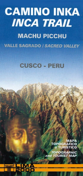
MAPA CAMINO INKA ESP/ENG
LIMA 2000
| Editorial: | Autor-Editor |
| Año: | 2024 |
| ISBN: | 9789972654619 |
| Páginas: | 1 |
| Formato: | 10 x 21 cm |
| Idioma: | ESPAÑOL- INGLES |
S/. 30,00
| Editorial: | Autor-Editor |
| Año: | 2024 |
| ISBN: | 9789972654619 |
| Páginas: | 1 |
| Formato: | 10 x 21 cm |
| Idioma: | ESPAÑOL- INGLES |
S/. 30,00
El Camino Inka es un tramo de la antigua red vial del Tawantinsuyo que conectaba Cusco con Machu Picchu. Desde Qoriwayrachina, donde el valle se estrecha, la ruta sigue un recorrido paralelo a este, atravesando zonas de altura y alcanzando los 4.200 m s. n. m. El camino conserva sectores empedrados y escalones de piedra, y permite descubrir diversos sitios arqueológicos, algunos en excelente estado de conservación, además de disfrutar de espectaculares paisajes andinos hasta llegar a Machu Picchu. The Inca Trail is a section of the ancient road network of the Tawantinsuyo that connected Cusco with Machu Picchu. Starting at Qoriwayrachina, where the valley narrows, the route follows a parallel course through the highlands, reaching elevations of up to 4,200 metres above sea level. The trail preserves stone-paved sections and steps, leading hikers past several archaeological sites, some remarkably well preserved, while offering spectacular Andean scenery on the way to Machu Picchu.
¡Amamos los libros tanto como tú. Compra rápido, fácil y seguro!